Geocaching at Tannberg.
Treasure hunting with history.
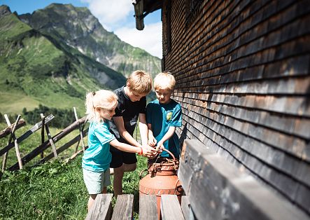
Discover the modern form of treasure hunting: geocaching! In this exciting activity, you search for so-called caches hidden in various (and sometimes even unusual) locations. Each cache has its own geocoordinates stored on a global platform accessible to all geocachers. Using a GPS device or a special app on your smartphone, you set out to find these hidden treasures.
The greatest joy for a geocacher is to find a cache, leave a mark in the logbook, and thus confirm their discovery.
Geocaching is not only a lot of fun for experienced treasure hunters, but it also offers a fantastic experience for the whole family. Experience the thrilling combination of adventure and history in nature together!
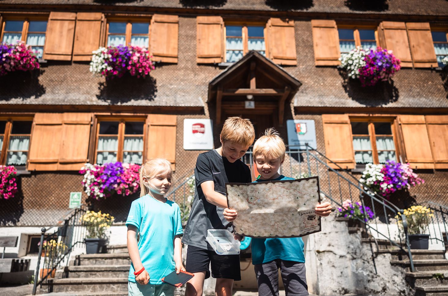
Stamp passes are available at the tourism offices in Warth and Schröcken or for download here.
How it works: Geocaching made easy!
- Free Registration: Visit www.geocaching.com to register for free. This site provides comprehensive information about geocaching and the caches in your area.
- GPS Device or App: You will need a GPS device or a geocaching app on your smartphone to find the caches. The app is available for both iPhone and Android and can be downloaded for free.
- Treasure Map and Stamp Passes: You can obtain a treasure map and stamp passes at the tourism offices in Warth and Schröcken. These must be stamped at certain caches.
- Offline Availability: Save the caches for offline use so that you are not dependent on an internet connection while on your treasure hunt.
- Read Cache Details: Before each search, read the cache's "listing" to get all the important information and clues. Often, you may need to solve a puzzle before you can start searching.
- Discreet Behavior: When searching for or having found a cache, please behave discreetly. This helps avoid other hikers thinking you have lost something or noticing that there is something to be found, which could spoil the fun!
- Sign the Logbook: Enter your name and the date in the logbook of the found cache. If you find items in the cache, you may only take something if you leave an equivalent or more valuable item in return.
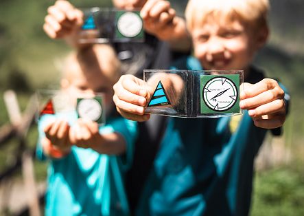
- Use a Motif Punch: If you find caches that contain a motif punch, punch the corresponding field on your stamp pass.
- Replace the Cache: Please hide the cache back exactly where you found it to preserve the surprise for the next geocachers.
- Tannberg-Geocoin: After finding all the caches and stamping the motifs on your stamp passes, you will receive the coveted "Tannberg-Geocoin" as a reward for your efforts upon presenting your fully stamped pass at the local tourism offices.
Safety Instructions for Geocaching.
Please follow the safety instructions below to ensure a safe and enjoyable geocaching experience:
- Personal Responsibility: The search for geocaches created by the geocache owner "TANNBERG" is done at your own risk.
- Pay Attention to Cache Descriptions: Carefully read the cache description and take note of the indicated difficulty and terrain ratings.
- Self-Assessment: Every geocacher should realistically assess the local conditions and their own abilities before searching for a geocache.
- Health Comes First: No geocache is worth jeopardizing your health. Always act cautiously and considerately.
- Disclaimer: Warth-Schröcken Tourism and the Tannberg region assume no liability for any accidents or injuries that may occur on the suggested routes.
Have fun geocaching – stay safe and enjoy nature!


